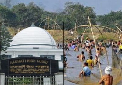
Officials warn of Assam falling under Zone-V of Indian seismic map, 'not ready' to undergo major earthquake

Officials warn of Assam falling under Zone-V of Indian seismic map, 'not ready' to undergo major earthquake
Digital Desk: The seismic movement and the great change in climate change are giving a major warning to human kin for a great change. One calamity is the recent earthquake in Myanmar, which killed over 3,600 people.
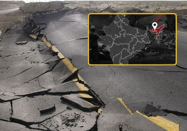
Now the question arises as to whether Assam, being classified as Zone V on India's seismic map, is equipped for such an occurrence.
As officials warn, even though the state has a history of dealing with megaquakes, it is still completely inept to deal with any such situation.
As cited by the Assam Tribune in talks with official sources, it was stated, "Although some little initiatives have been taken to mitigate earthquake damage, not enough has been done thus far. Every department involved should work together to get the state ready for any such situation."
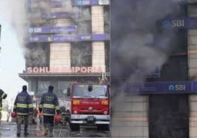
In 2017, the Assam State Disaster Management Authority (ASDMA) conducted a survey of Guwahati's high-rise buildings and discovered that some of them were vulnerable. However, no further action was taken by the relevant departments.
The hills in Guwahati have become more vulnerable to landslides as their slopes have eroded. Massive landslides are possible in the event of a major earthquake.
Notably, a few years ago, around 366 vulnerable slopes were identified, and a suggestion was made to work on slope stabilization. Because of increasing encroachment, the number of vulnerable slopes is likely to have increased over time.
However, little action has been taken thus far to evict the encroachers and stabilize the hillslopes to prevent landslides.
Residents in high-rise apartment buildings have not cooperated, making it impossible for the ASDMA to perform the simulated exercises that it has been holding in schools and colleges.
Nonetheless, the government has taken action to create a map of public areas in cities and towns that could be used as shelter in the event of a significant earthquake. The government has decided to confirm the existence of these areas in the wake of the earthquake in Myanmar.
Additionally, the ASDMA is mapping open spaces across the state's districts and subdivisions. Action is being taken to find people who can quickly provide food, tents, and other supplies. Over several months, an inventory of rescue supplies, including cutters, will also be produced.